Tegan Carpenter-Kling
Nelson Mandela Metropolitan University
South Africa’s research vessel, the SA Agulhas 2, is one of the few ways to reach the country’s only offshore territories. In the middle of the Southern Ocean, 2,000km away from the edge of the African continent, lie Marion and the smaller Prince Edward Islands. They are two of the most pristine environments on Earth, and form an outdoor laboratory where scientists can try to answer questions ranging from “How will climate change effect marine ecosystems?” to simpler things like “What do penguins eat?”
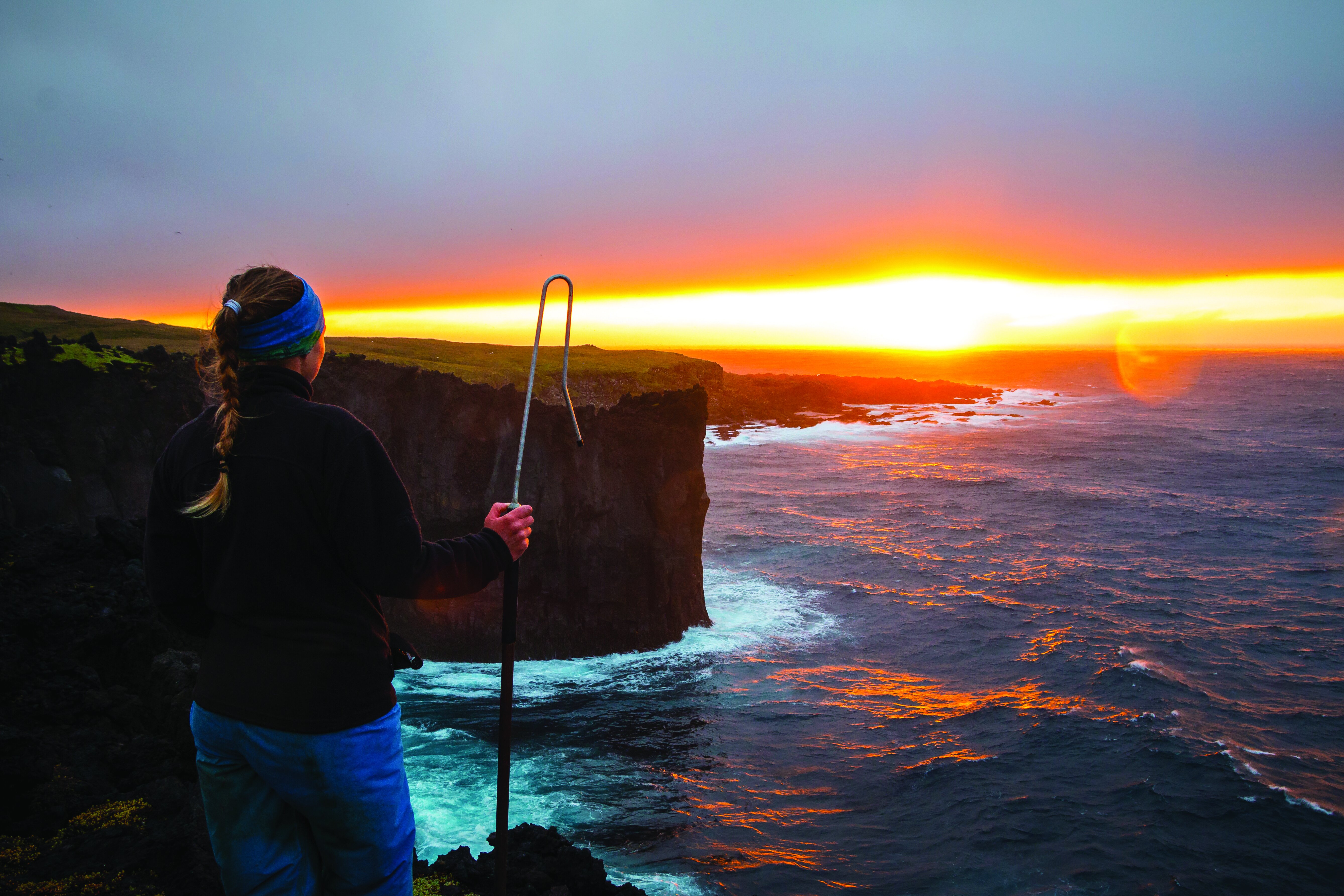
After five days of sailing across the vast Southern Ocean and seeing nothing but water, the odd bird and many seasick scientists, you see the islands rise up like mountains out of an angry roaring ocean. In some parts, they climb out of the sea gradually, beginning at a few pebble beaches. At others, sharp black cliffs loom where pieces of the island have been hacked away by uncountable storms over millennia.
There is no flat piece of ground. Thousands of ancient volcano eruptions spewed lava, which flowed and cooled over the land, to give the islands their rugged valleys and mountains.
Grasses, mosses and an endemic cushion-like plant cover the perimeter and slopes of the islands. With not a single tree or bush in sight, it is a palette of greens and yellows.
But towards the interior, up the mountain slopes, small red and black remnants of primordial lava give way to white peaks, blanketed with snow and ice.
From the highest points to the lowest beaches, hundreds of burnt red volcanic cones dot the landscape: some small and others twice as high as the Eiffel Tower. Plants try to scramble up them, but never make it to the top, where the wind blows the turrets bald.
As the ship sails closer to the island, the oceans become alive. Penguins surf the bow wave of the ship. If you are lucky, you may see a curious pod of killer whales cruising by. In the air, thousands of petrels, prions and albatrosses soar overhead.
It is easy to spot the Marion Island base: perched on a three-metre high cliff, its violent orange exterior glows like the beacon of a lighthouse.
From the SA Agulhas 2, you can either fly to land in a helicopter – if the weather permits – or get in close enough on a speed boat that you can be lifted up in a basket by a crane.
As you step foot on the island, you are bombarded with huge smiles and hugs from the team that has just spent a year in isolation on the island. Yours is the first new face that they have seen in a year.
The ship only journeys to Marion Island annually. It brings new supplies for the year ahead and swops a new team for the old team. During the over-wintering expedition, which is 13 months long, the only human beings you will see from the time the ship drops you off until she picks you up again, are the 20 people who make up that year’s over-wintering team. The team comprises support staff – a medic, base engineer, diesel mechanic and communication engineer – meteorologists, one member of the South African National Space Agency and scientists, namely biologists.
It is a long year. The weather on the island is rather extreme, with gale force winds, snow, ice and rain. Marion Island is located at 46 ̊ south and the weather at this latitude is infamous, so much so that it is commonly referred to as the “roaring forties”. With no continent or land nearby to break the fury of the roaring forties, the island receives the worst of it.
As the islands are one of the most pristine environments on Earth – something which the South African government and scientists want to maintain – no vehicles are allowed on Marion Island. The only way of getting around is by walking with everything on your person. So, like a mountain goat, you traverse the island carrying 15kg of extra clothes and food on your back. Fortunately, there are field huts strategically placed around the island, equipped with gas heaters, stoves, beds and food.
In the two years I spent on Marion Island, I walked a total of 10,000km over mountains and bogs to reach different colonies of penguins, albatrosses, petrels and seals on the different corners of the island. Often, I did not seeing another human being for days at a time.
For my research, I simultaneously tracked 10 species of seabirds by attaching GPS devices to their backs before they left the island to forage for food. From the data contained in these matchbox-sized devices, I was able to see where they went and where they foraged.
This research allowed me the opportunity to peek into the marine animals’ incredible lives, of which much is still unknown to humans. For example, some of the birds were flying thousands of kilometres to find food. Light-mantled albatrosses foraged at the Antarctic ice shelf, wandering albatrosses found their food along the coast of South America and giant petrels hunted along the coast of South Africa.
Few humans get to walk on South Africa’s islands, but humanity’s effects are felt even on these isolated corners of Earth. For my PhD, I will use this information to identify areas that are ecologically or biologically important for these seabird species. With this knowledge, we will be able to protect our islands’ – and the planet’s – biodiversity. Few humans get to walk on South Africa’s islands, but humanity’s effects are felt even on these isolated corners of Earth.

Gorgeously evocative writing. What a joy to read.